Scientific Mapping Has Entered the Drone Era
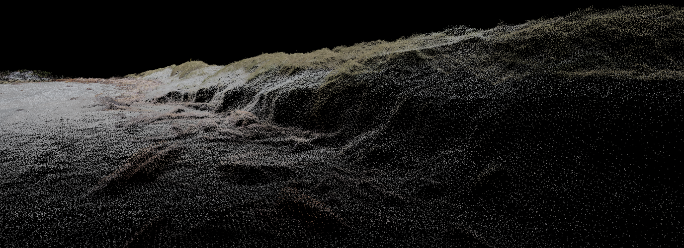
Mapmaking has made huge leaps in the past few decades. Now, scientists can map in great detail with technology that can fit in a backpack. Find out how the Hakai Institute and its partners are using drones to view and study the landscape like never before.
Project collaborations include the University of Victoria, Arizona State University, Simon Fraser University, University of British Columbia, Bamfield Marine Sciences Centre, the Heiltsuk Nation, the Haida Nation, and Parks Canada.