Highlights from the Nearshore
With fieldwork ramping back up this summer, our nearshore team has been busy as ever.
Low tides in the daytime and kelp growth spurts make summer an ideal time to check in on the rich biodiversity in the nearshore waters. By the summer months, Hakai’s ecological observatories on Calvert Island and Quadra Island are usually bustling, but with the advent of the COVID-19 pandemic, field plans in 2020 pivoted to keep employees and communities safe.
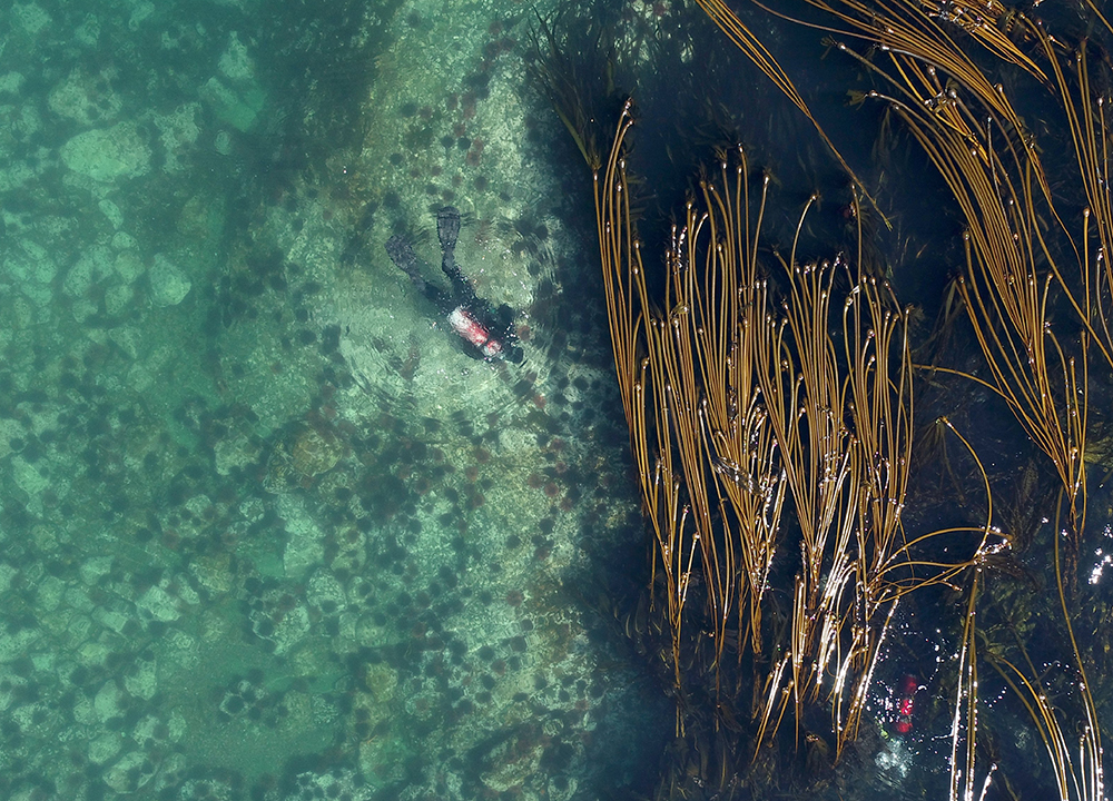
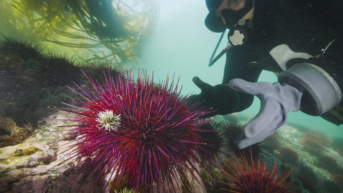
While a second pandemic summer continues to temper some research plans, in 2021 much of our work is back up and running thanks to vaccines, safety protocols, and lessened restrictions. Over the past couple of months, our nearshore team has been busy with ongoing monitoring, research collaborations with university partners, and some exciting new initiatives. The team of geospatial scientists, scuba divers, and on-shore research technicians has been bustling to map, sample, measure, and count life in the nearshore waters by land, sea, and air.
To celebrate the return to the field, some of the team have been “writing home” from the nearshore with picturesque shots of the sites they survey and the critters they find. Here is a snapshot of some of this summer’s work.
Kelp Forests
Seagrass Meadows
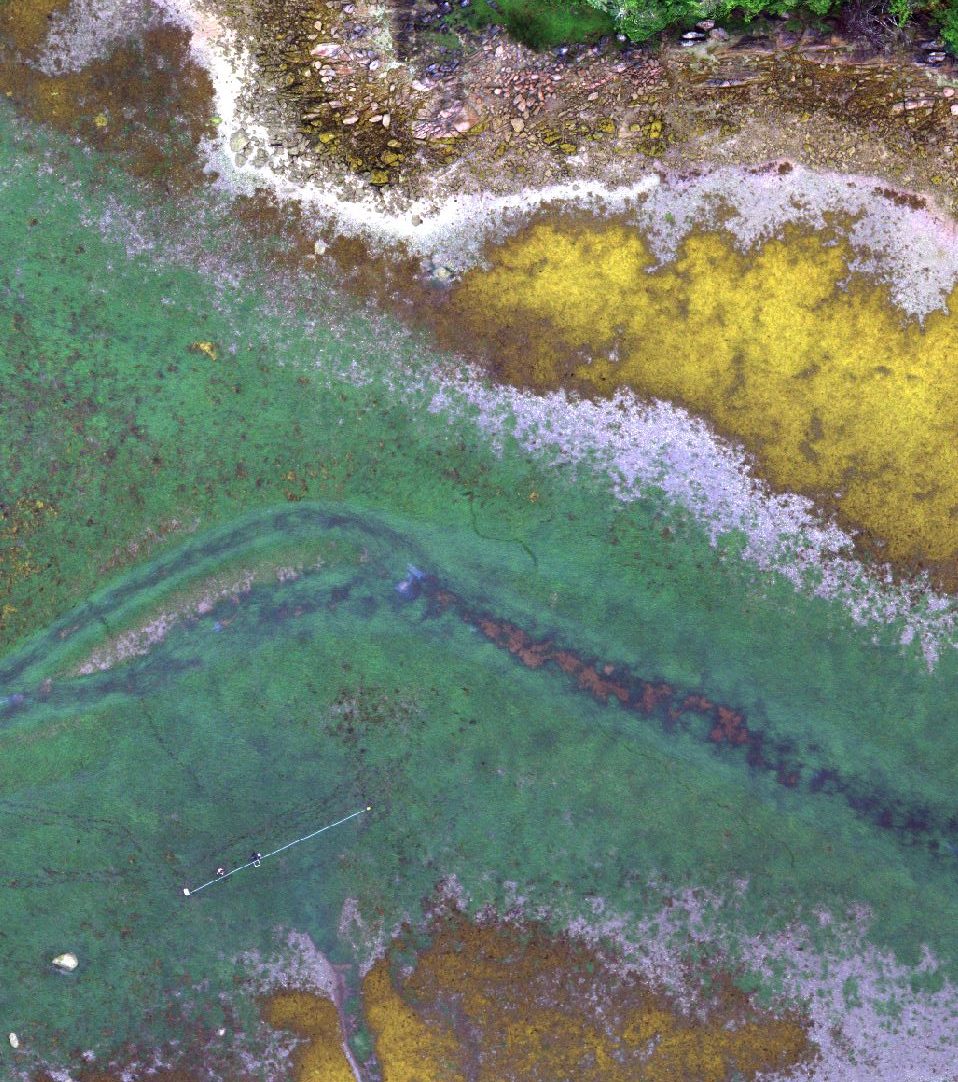
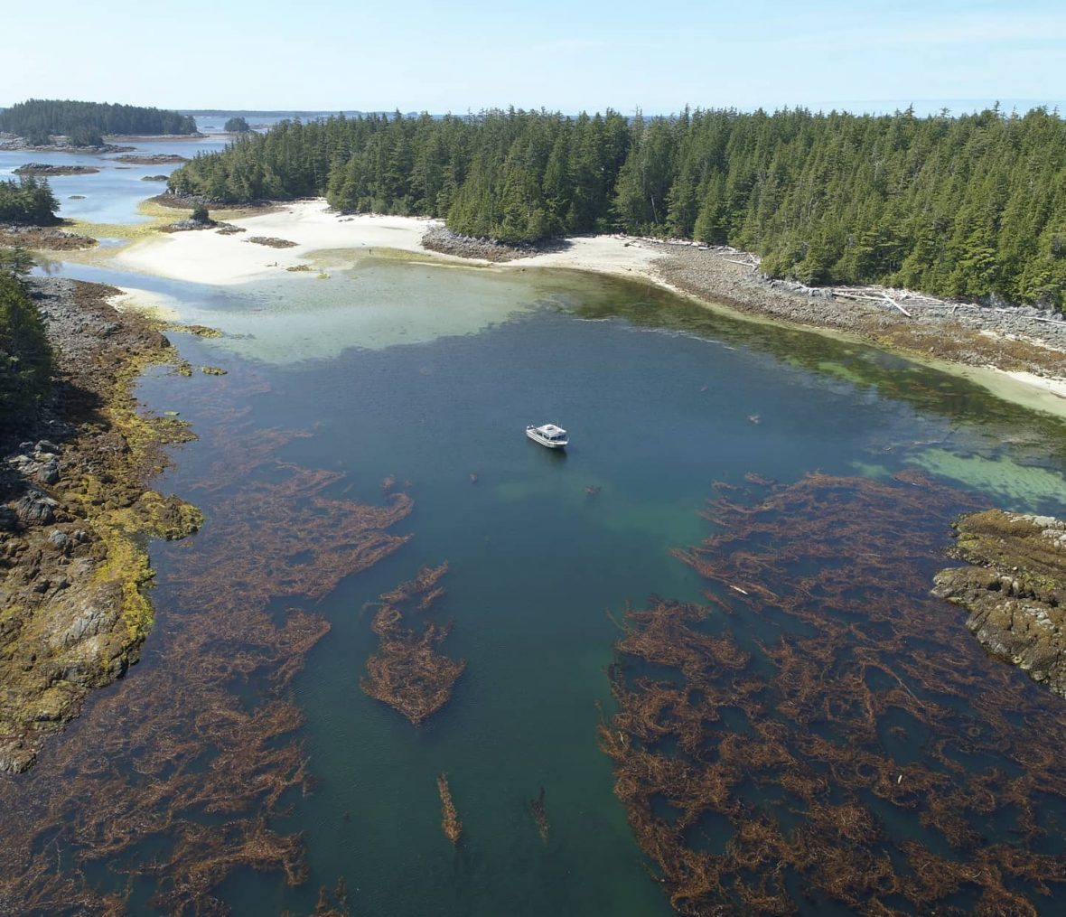
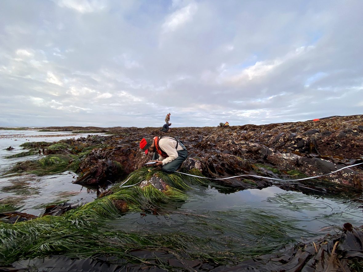
Vibrant seagrass meadows are revealed during some of the lowest tides of the year, facilitating mapping by drone and by foot. For a third year, concurrent drone and field surveys are used to measure the extent and health of eelgrass meadows, for a coastwide project to investigate eelgrass wasting disease that is funded by the US National Science Foundation. Photos by Luba Reshitnyk and Carolyn Prentice
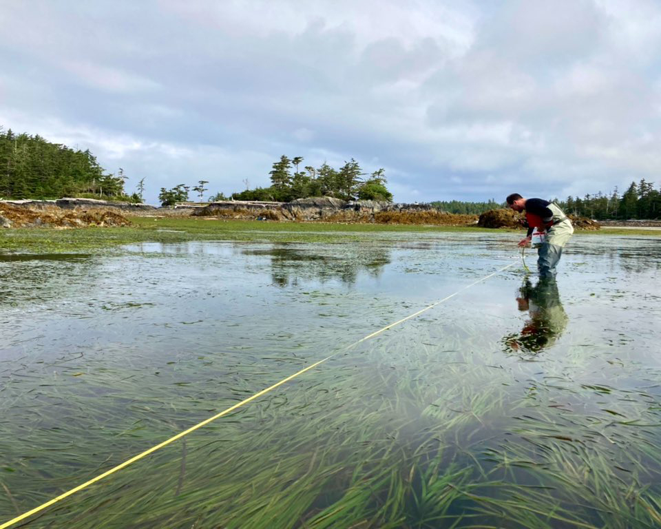
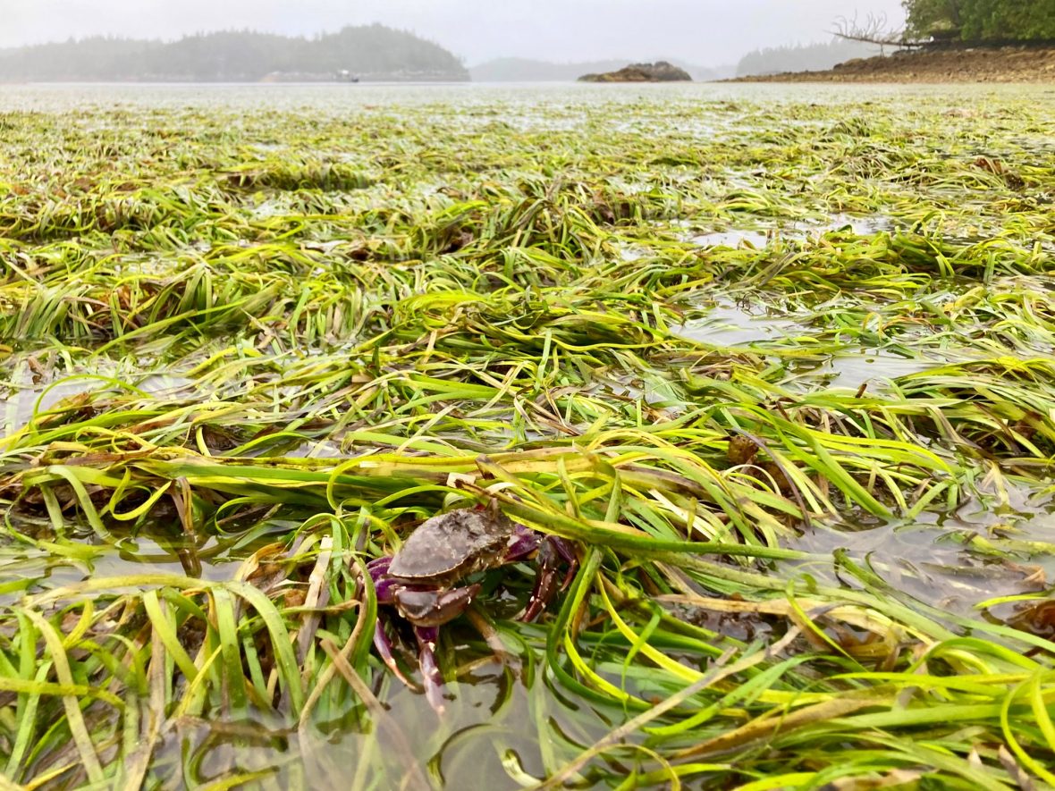
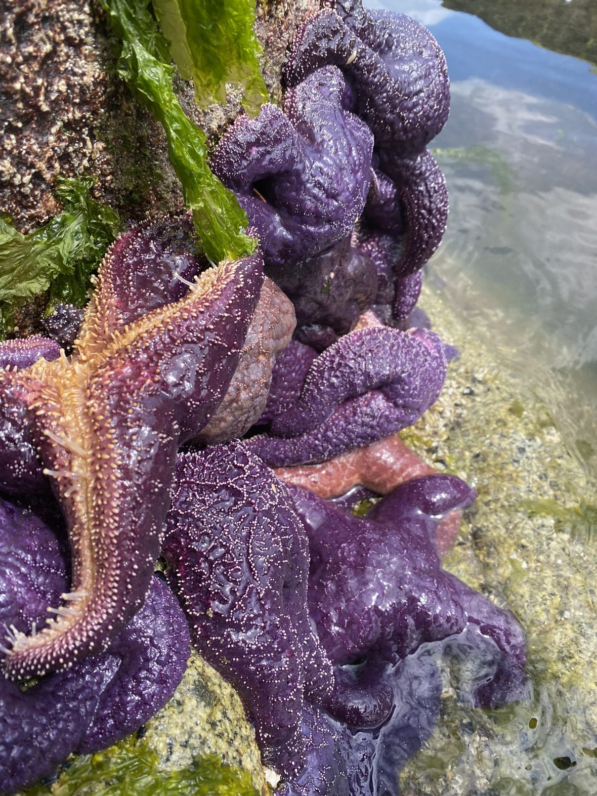
When the tide goes out, a plethora of invertebrates that live in seagrass beds are revealed. These critters are captured in subtidal surveys, but it’s hard to pass up a photo-op. These photos aren’t just for the ‘gram, though—often they’re added to iNaturalist. Photo by Carolyn Prentice
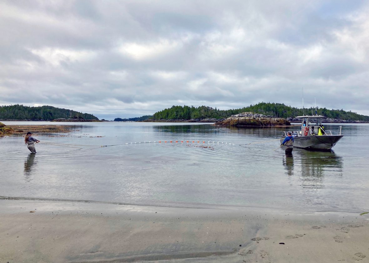
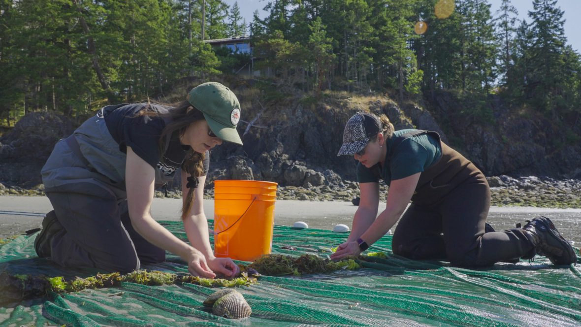
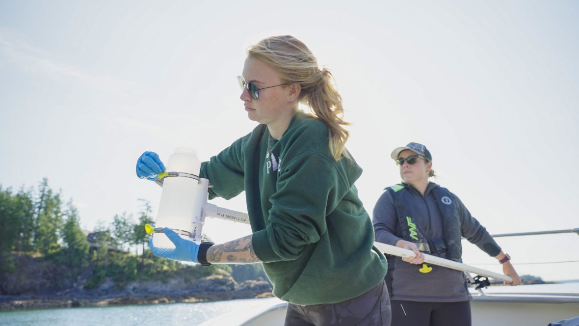
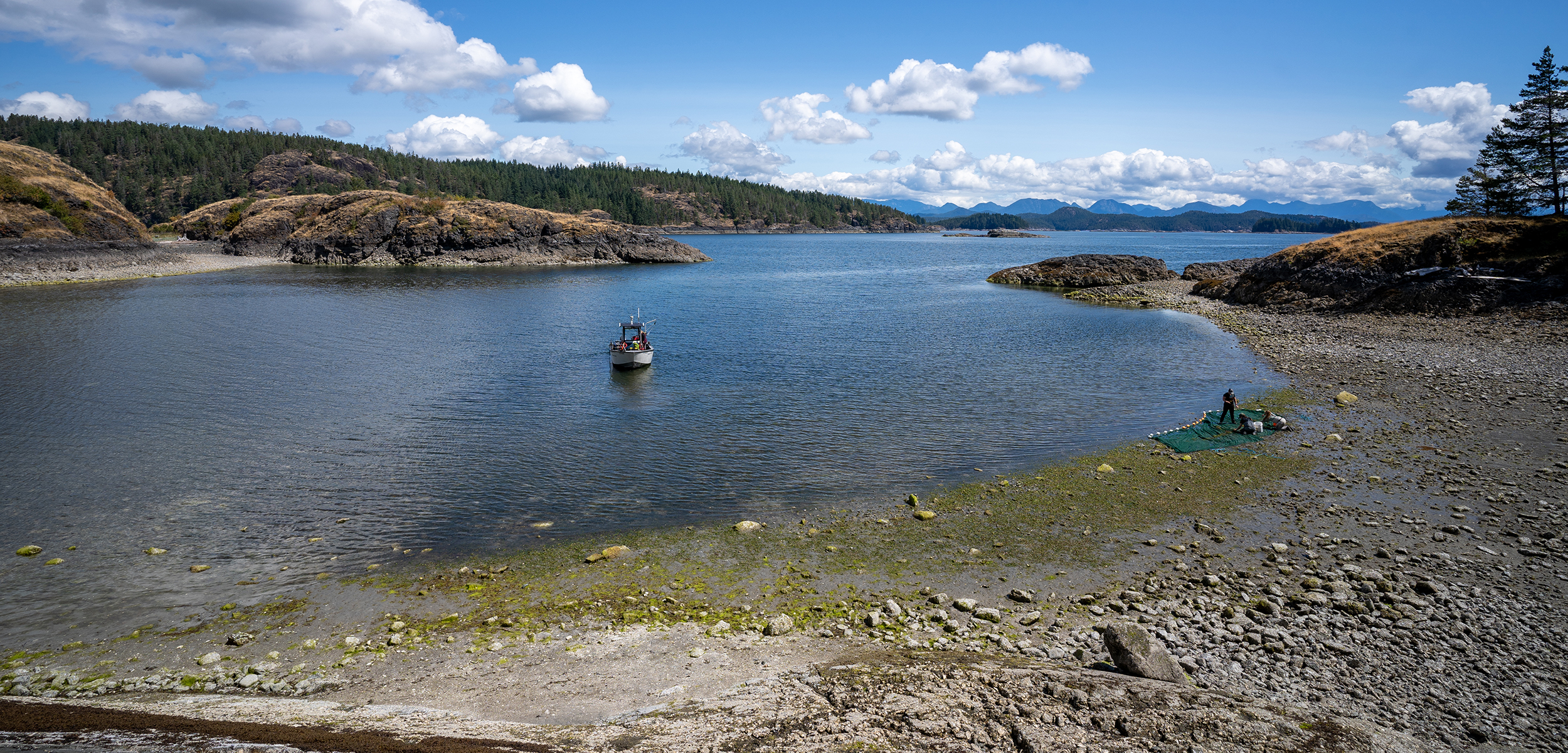
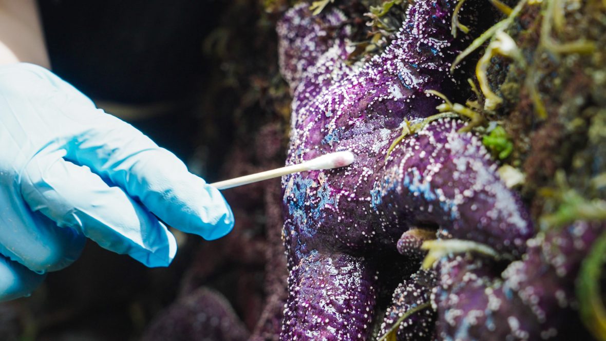
Water samples are scooped up and fish are netted for a new project that brings our beach seines—a staple of our Central Coast seagrass biodiversity surveys for years—to Quadra and Cortes Islands. This Pacific eDNA Coastal Observatory (PECO) project is a collaborative census of the fish diversity found in seagrass meadows all along the northeast Pacific coast. In a meeting of old and new sampling techniques, environmental DNA (eDNA) extracted from water samples is paired with the staple seine collection method. Photos by Carolyn Prentice and Bennett Whitnell
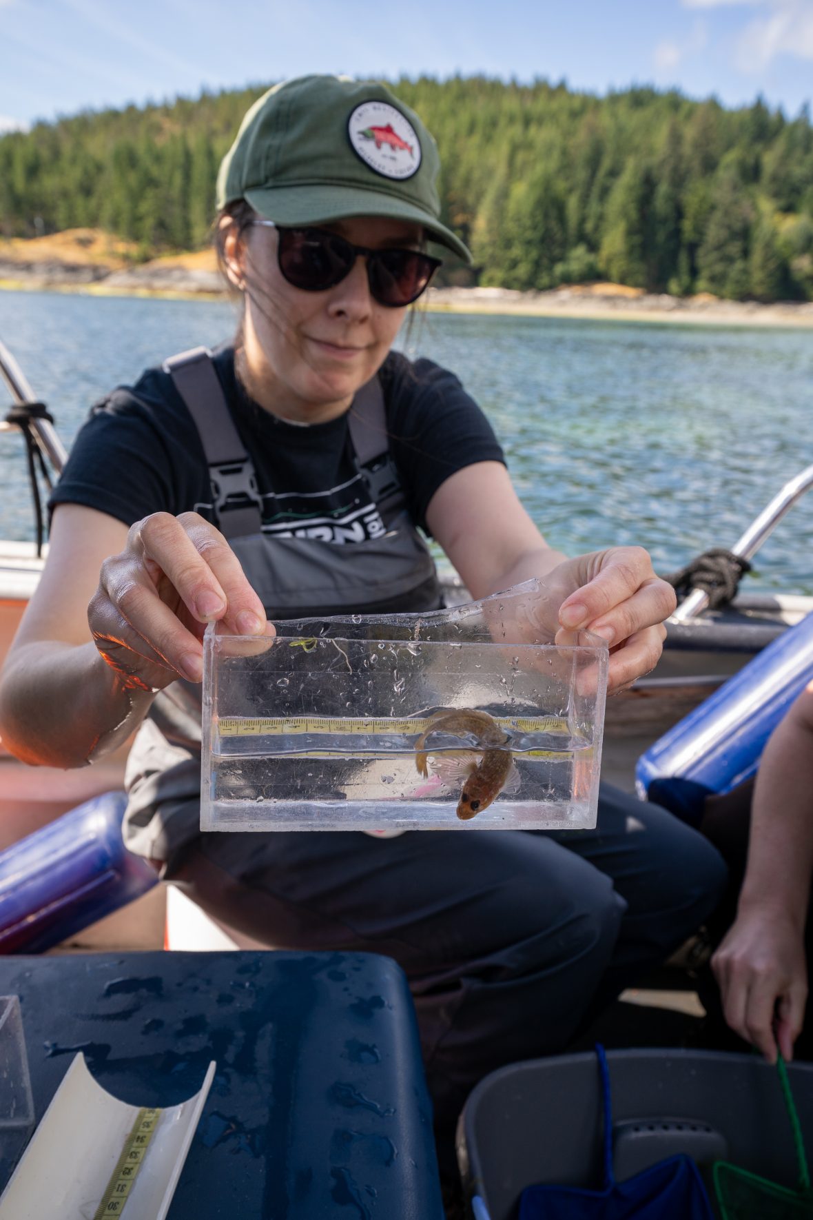
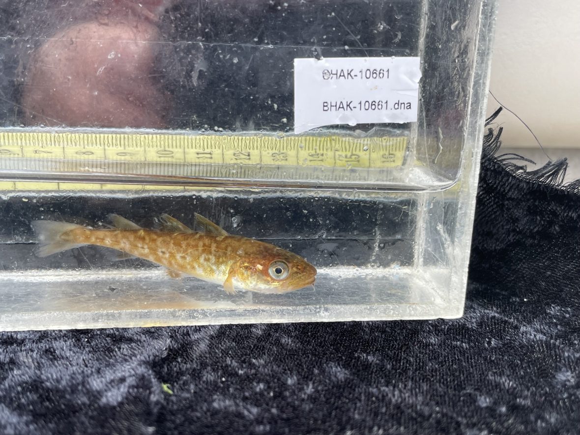
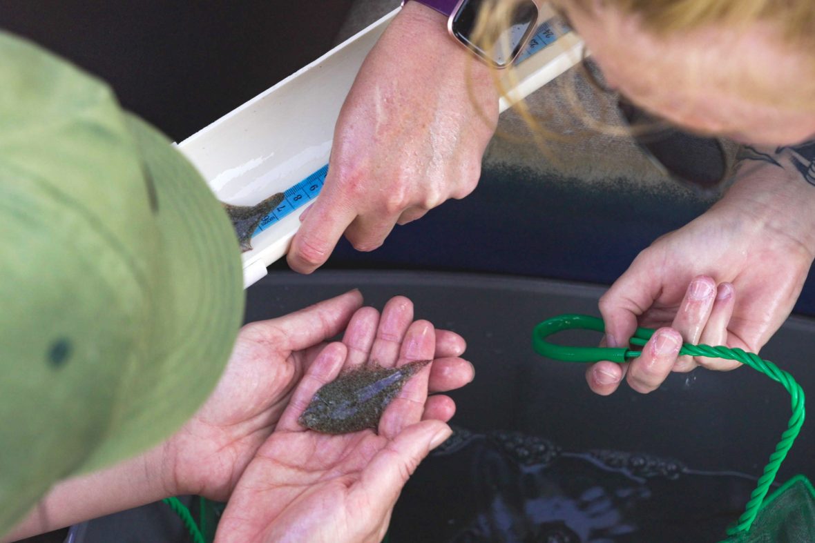
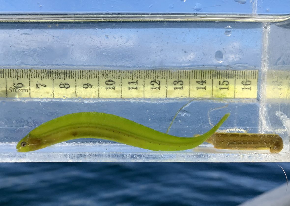
Research technicians measure, identify, and take small DNA samples from fish collected in the seine nets. Photos by Angeleen Olson, Zach Monteith, and Bennett Whitnell
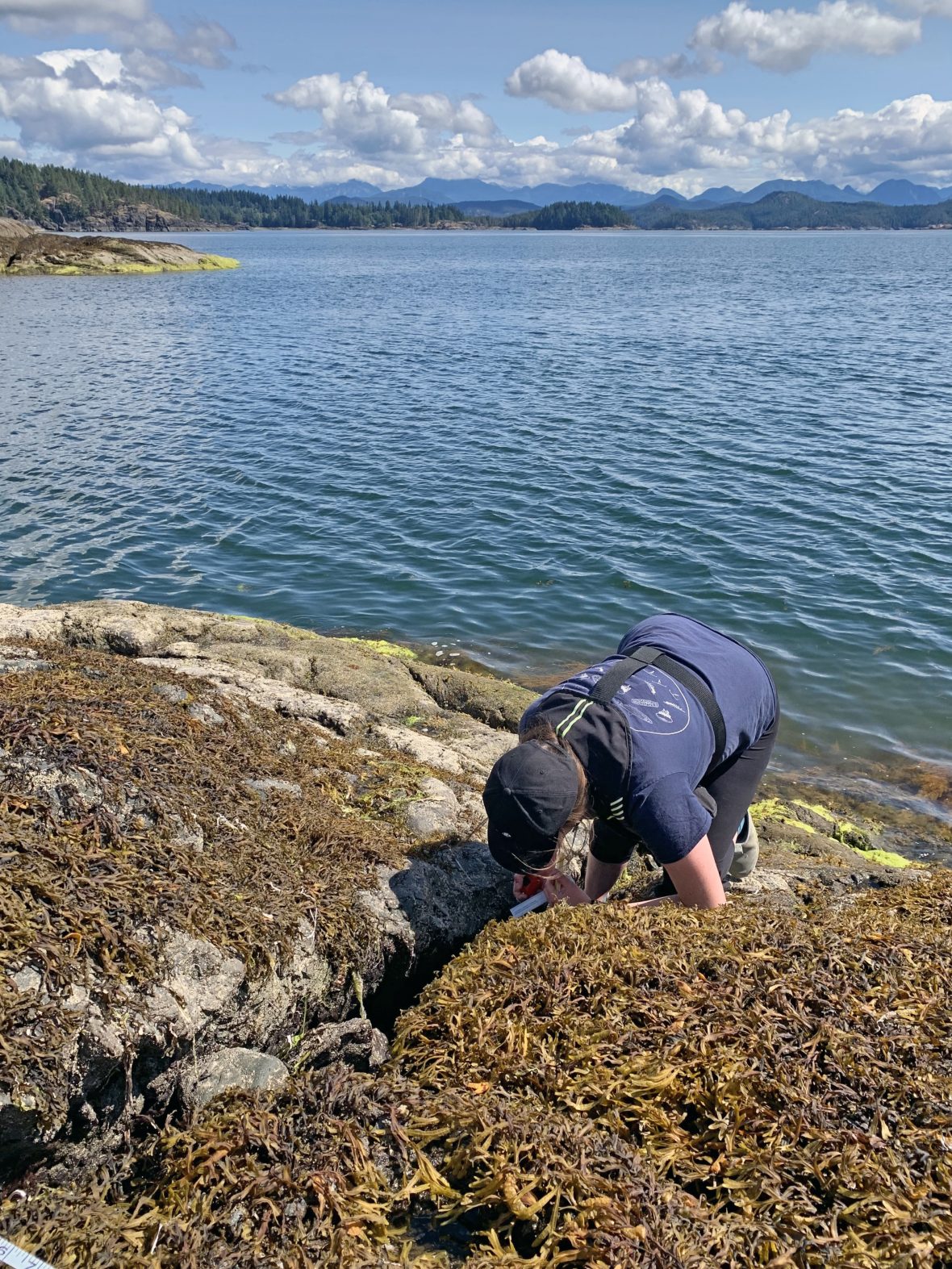
Rocky Shores
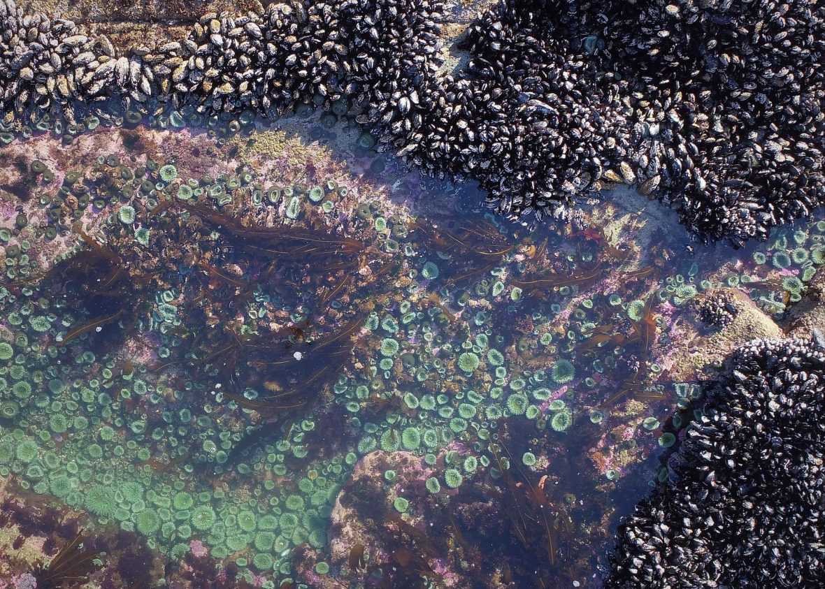
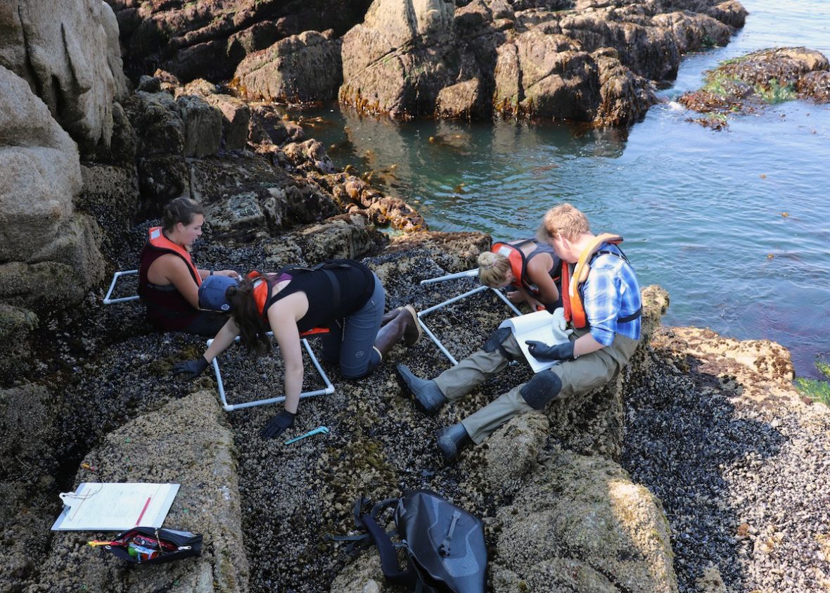
You can explore many of our Central Coast kelp and seagrass monitoring sites further through a virtual tour developed by geospatial scientists Keith Holmes and Luba Reshitnyk.

